 Easy
Ojstrica
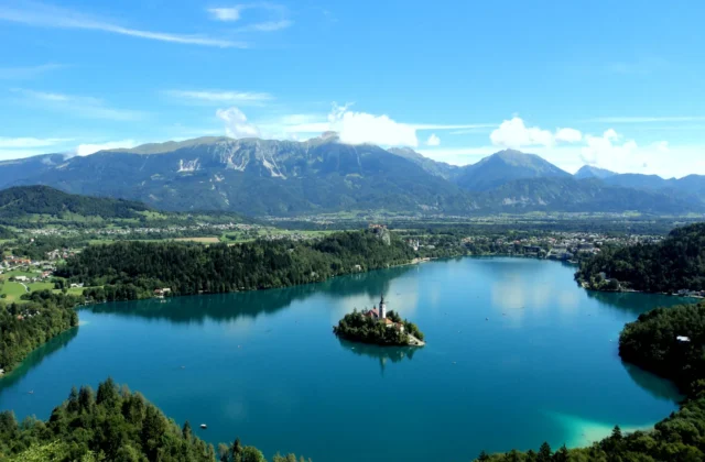
The shortest climb to the most photographed view of Lake Bled — 45 minutes to the postcard.

Slovenia's most beautiful mountain and the symbol of its alpinism (2,645 m) — a very demanding tour from Tamar for experienced mountaineers with via-ferrata gear.
Jalovec (2,645 m) is, for many, Slovenia’s most beautiful mountain — its sharpened silhouette forms the emblem of the Alpine Association of Slovenia. Beauty has its price: no route up is easy. This is a tour for experienced mountaineers with a helmet, via-ferrata set and a calm step on crumbly terrain.
From the Tamar hut (1,108 m) allow 5–5.5 hours and ~1,540 m of ascent: scree to the Kotovo saddle, then a protected, partly climbing route to the summit. A very demanding marked trail; the Jalovec couloir shortcut is more serious still — snow lingers late into summer, so an axe and crampons are no luxury.
From Loška Koritnica to the Zavetišče pod Špičkom shelter (2,064 m) in ~2.5 h, then a protected route to the summit in ~1.5 h more. The full circuit takes 10–11 hours — quieter, but no less serious.
| Route | Trailhead | Time to summit | Character |
|---|---|---|---|
| Tamar / Kotovo sedlo | Tamar 1,108 m | 5–5.5 h | very demanding, protected |
| Loška Koritnica / shelter | ~1,100 m | ~4 h | quieter, protected finale |
| Hut | Altitude | Beds | Role |
|---|---|---|---|
| Dom v Tamarju | 1,108 m | ~70 | the Planica base, open year round |
| Zavetišče pod Špičkom | 2,064 m | ~25 | an eagle’s nest below the summit |
Beds run roughly €20–40, with PZS-member discounts; the Špiček shelter is tiny and fills fast in summer — book via PD Jesenice. A night at 2,064 m turns the climb into a glorious two-day outing with sunset over Trenta.
Planica: park at the Nordic Centre, then an easy 1-hour walk to Tamar (40 min drive from Bled). Loška Koritnica: roadside parking on the Mangart road (~1.5 h drive from Bled over Vršič).
Mandatory: helmet, via-ferrata set, stiff-soled mountain boots; in early summer an ice axe and crampons for the couloir. The crumbly terrain demands attention at every step — never set out in poor visibility or with storms forecast. Inexperienced? Hire a mountain guide. Weather: Bled Live.
Easy The shortest climb to the most photographed view of Lake Bled — 45 minutes to the postcard.
 Moderate
A rock tooth above the Sava Bohinjka valley (1,128 m): an uncrowded viewpoint above Bohinjska Bela with an…
 Easy
Six kilometres of Slovenia's loveliest promenade — the lake loop with views of the island, castle and Julian…